
Arizona
hiking
National Parks
scenic drives
science
USA
volcano
Walking on Lava Flows of Sunset Crater Volcano
12/16/2016
Ever wanted to walk on the hardened lava flow of an extinct or dormant volcano? Look no further than Sunset Crater Volcano in central Arizona. Its eruption happened almost a millennium ago, but the lava flows still look fresh.

Sunset Crater Volcano sits next to Flagstaff, the biggest city in central Arizona surrounded by the beautiful San Francisco Mountains or just Peaks. In the picture below, is a snowy mountain, the second from the left is Humphreys Peak, the tallest mountain in Arizona (12,637 ft / 3,851 m). When the Spanish came here in the 17th century, they were surprised that such tall mountains did not start any rivers or lakes. Well, now we know the reason: the soil soaks up the moisture from rainfalls and other precipitation like a sponge due to its volcanic origin.

I like forests with little vegetation where you can see through trees. It reminds me of my childhood and the pine forest near my house.

Sunset Crater Volcano is the youngest one in this volcanic zone. The latest eruption occurred between 1040 and 1100 A.D. Only aerial pictures of this volcano can reveal its round crater.

Sunset Crater Volcano National Monument is a member of 400+ parks and other protected areas in the US managed by the National Park Service (which, by the way, celebrates its centennial this year). The difference between world-renowned US national parks and national monuments does not really exist, except the way they are created. While national parks have to be specifically designated by Congress (US Parliament), monuments can be set aside by presidents which usually means less red tape. The history of the National Park Service provides examples of when a president would create a monument to immediately protect a place, and Congress would catch up and assign a place a national park's title years later. This happened, for instance, to the Grand Canyon.
Sunset Crater Volcano has a few interpretive trails which give you a good idea of what a volcano is and why and how it erupts. One of the trails takes you to the lava flows which can be in different forms: friable (like sand) and cinder.


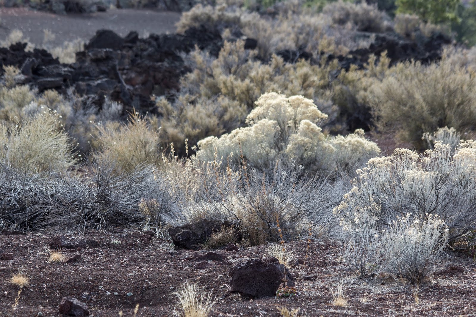
Even 900+ years after the eruption, there is very limited vegetation which grows on lava cinder.

This tree is close to 400 years old which means that it grew up after the eruption. I don't believe any creature could have survived the eruption within a radius of 0.3 miles / 0.5 km.

Look at these branches. This tree must have struggled during its life and eventually died likely from the lightning.

Lichens help convert the hardened lava cinder into soil.
 |  |
Lava fields look so fresh, so it feels like the eruption was only a few years ago.

I like the combination of colours here: blue peaks, green forest and black lava.

Walking beyond the trail is strictly prohibited as the fields of lava flows are very fragile.


In case you were wondering what the difference is between magma and lava, here is a simple explanation: magma is molten rock that sits underground in the Earth's crust under enormous pressure; lava is the magma that reaches the surface.

Before the eruption, high-pressure gas makes magma go up from the Earth's crust and create vents. A certain amount of magma hardens around the vent and eventually builds a cone-shaped mound.

Magma with a high concentration of gas erupts from the central (vertical) vent while magma with a low concentration of gas flows out from side vents creating lava flows. Side vents usually appear at the base of a cone. The eruption column of ash, cinder and molten rock from the main vent is thought to be up to 853 ft / 260 m high.

This is one of the side vents where lava flowed like a toothpaste from a tube.

Scientists believe that the eruption lasted about 6 months. By the end of it, the cinder became red due to the high concentration of iron in it. This gave the name to this volcano - Sunset.
 |  |


When to go
Any time of the year should be fine to visit this park. Winter temperatures are cooler due to the higher elevation.
Directions
Located 12 miles / 19 km north of Flagstaff on U.S. Highway 89.
Address and GPS coordinates of the Sunset Crater Volcano Visitor Centre: 6082 Sunset Crater Road, Flagstaff AZ, 86004; 35.369162, -111.543507.
Address and GPS coordinates of the Sunset Crater Volcano Visitor Centre: 6082 Sunset Crater Road, Flagstaff AZ, 86004; 35.369162, -111.543507.
You can combine Sunset Crater Volcano with Wupatki National Monument into a 1-hour scenic loop drive to see dwellings of ancient Pueblo people who lived and farmed in this area many centuries ago, and who suddenly disappeared likely due to climate change and loss of farming grounds.
Additional Information
For additional information visit the Sunset Crater Volcano National Monument's official website.
0 comments